


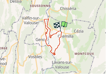

28 km | 37 km-effort

User


FREE GPS app for hiking
 SityTrail
IGN / Geographical institutes
SityTrail World
The world is yours!
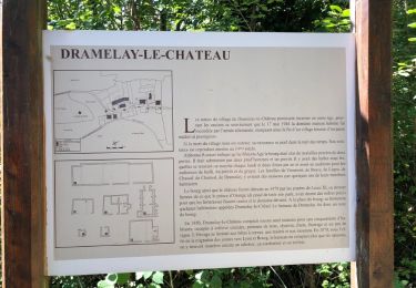
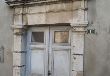
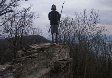
Trail Walking of 11.9 km to be discovered at Bourgogne-Franche-Comté, Jura, Saint-Hymetière-sur-Valouse. This trail is proposed by colomb24.
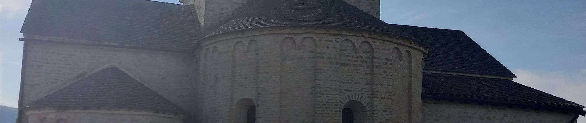
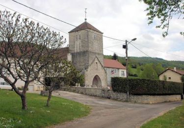
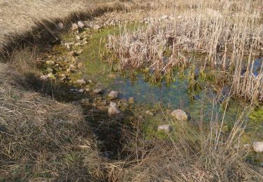
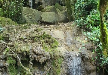
très belle randonnée avec la grotte. la carbonne du bœuf et une jolie cascade


Cycle
Walking
Walking
Walking

Other activity
Walking
Cycle
Walking
Walking