


Plateau de Lachaud

Gegetop
User
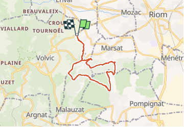

Length
13 km

Max alt
531 m

Uphill gradient
263 m
Km-Effort
16.5 km

Min alt
378 m

Downhill gradient
263 m
Boucle
Yes
Creation date :
2022-04-30 09:15:08.883
Updated on :
2022-04-30 13:06:12.166
3h30
Difficulty : Medium
3h05
Difficulty : Medium

FREE GPS app for hiking
 SityTrail
IGN / Geographical institutes
SityTrail Plus
The world is yours!
About
Trail Walking of 13 km to be discovered at Auvergne-Rhône-Alpes, Puy-de-Dôme, Malauzat. This trail is proposed by Gegetop.
Description
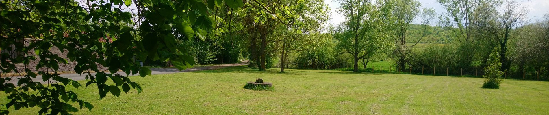
Départ du Chancet.
Cette boucle vous emmène sur le plateau par des chemins boisés très agréables et sauvages.
Photos

Positioning
Country:
France
Region :
Auvergne-Rhône-Alpes
Department/Province :
Puy-de-Dôme
Municipality :
Malauzat
Location:
Unknown
Start:(Dec)
Start:(UTM)
504628 ; 5081047 (31T) N.
Comments