


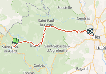
St j du Gard Ales

bruno38
User

Length
24 km

Max alt
648 m

Uphill gradient
892 m
Km-Effort
36 km

Min alt
129 m

Downhill gradient
958 m
Boucle
No
Creation date :
2022-04-30 06:28:26.178
Updated on :
2022-04-30 13:54:21.595
6h55
Difficulty : Very difficult

FREE GPS app for hiking
 SityTrail
IGN / Geographical institutes
SityTrail Plus
The world is yours!
About
Trail Walking of 24 km to be discovered at Occitania, Gard, Saint-Jean-du-Gard. This trail is proposed by bruno38.
Positioning
Country:
France
Region :
Occitania
Department/Province :
Gard
Municipality :
Saint-Jean-du-Gard
Location:
Unknown
Start:(Dec)
Start:(UTM)
571050 ; 4884214 (31T) N.
Comments