


Achel

Veroz
User
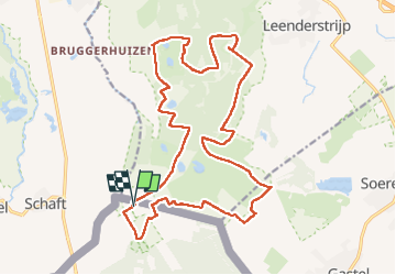

Length
20 km

Max alt
43 m

Uphill gradient
136 m
Km-Effort
22 km

Min alt
22 m

Downhill gradient
136 m
Boucle
Yes
Creation date :
2022-04-30 08:25:43.158
Updated on :
2022-04-30 15:04:34.439
6h38
Difficulty : Very easy

FREE GPS app for hiking
 SityTrail
IGN / Geographical institutes
SityTrail Plus
The world is yours!
About
Trail Walking of 20 km to be discovered at Flanders, Limburg, Hamont-Achel. This trail is proposed by Veroz.
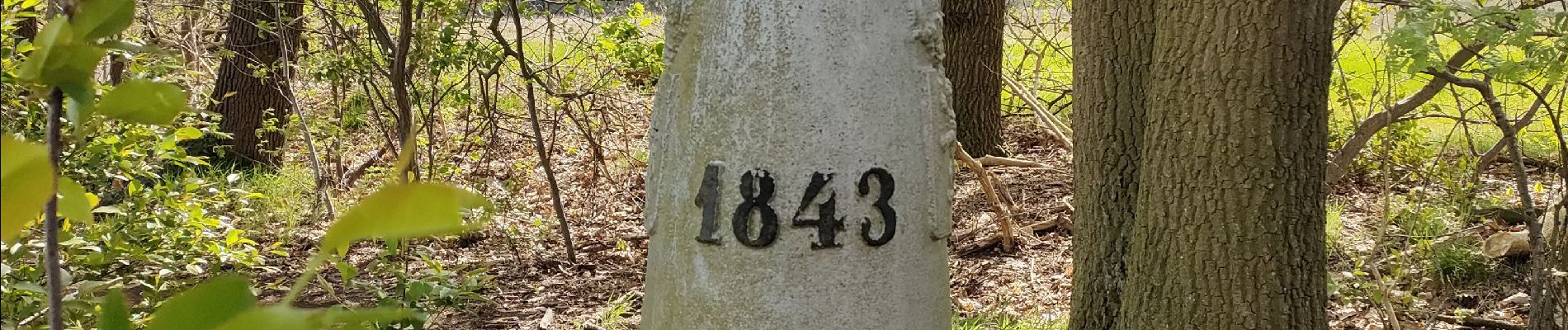
Photos


Positioning
Country:
Belgium
Region :
Flanders
Department/Province :
Limburg
Municipality :
Hamont-Achel
Location:
Achel
Start:(Dec)
Start:(UTM)
673531 ; 5685941 (31U) N.
Comments