


sortie Vtt

Atchoum26
User
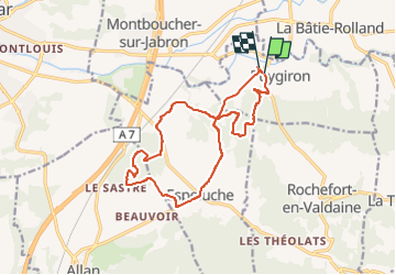

Length
16.1 km

Max alt
299 m

Uphill gradient
368 m
Km-Effort
21 km

Min alt
127 m

Downhill gradient
375 m
Boucle
Yes
Creation date :
2022-05-01 16:32:09.093
Updated on :
2022-05-01 18:49:56.653
1h56
Difficulty : Medium

FREE GPS app for hiking
 SityTrail
IGN / Geographical institutes
SityTrail Plus
The world is yours!
About
Trail Mountain bike of 16.1 km to be discovered at Auvergne-Rhône-Alpes, Drôme, Puygiron. This trail is proposed by Atchoum26.
Description
Départ Puygiron
Piste large
Single
Descente technique
Descente de la montée des cochons
Chapelle de Montceau
Retour Espeluche puis Puygiron
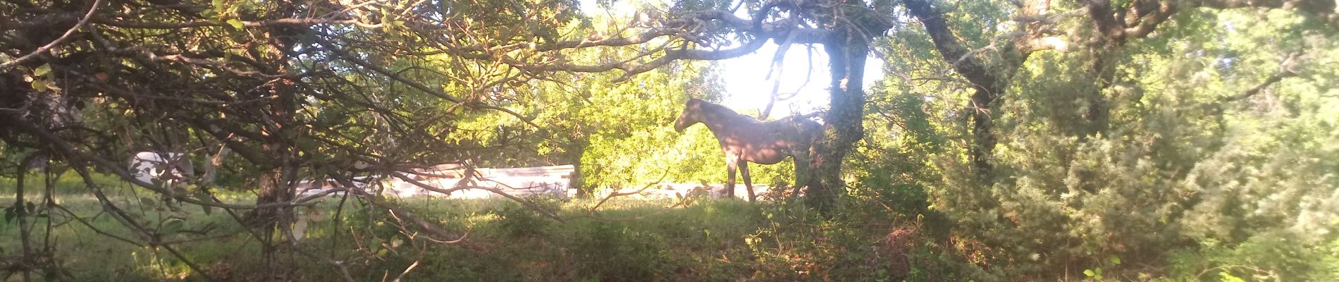
Photos


Positioning
Country:
France
Region :
Auvergne-Rhône-Alpes
Department/Province :
Drôme
Municipality :
Puygiron
Location:
Unknown
Start:(Dec)
Start:(UTM)
646421 ; 4933890 (31T) N.
Comments