


Fred La Mijoie éoliennes

arnoultjf
User
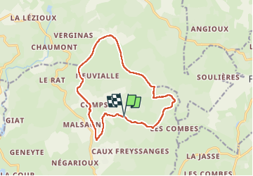

Length
14 km

Max alt
959 m

Uphill gradient
307 m
Km-Effort
18.1 km

Min alt
791 m

Downhill gradient
306 m
Boucle
Yes
Creation date :
2022-05-02 06:55:18.815
Updated on :
2022-05-02 10:55:40.77
3h41
Difficulty : Difficult

FREE GPS app for hiking
 SityTrail
IGN / Geographical institutes
SityTrail Plus
The world is yours!
About
Trail Walking of 14 km to be discovered at New Aquitaine, Corrèze, Peyrelevade. This trail is proposed by arnoultjf.
Description
Moyenne
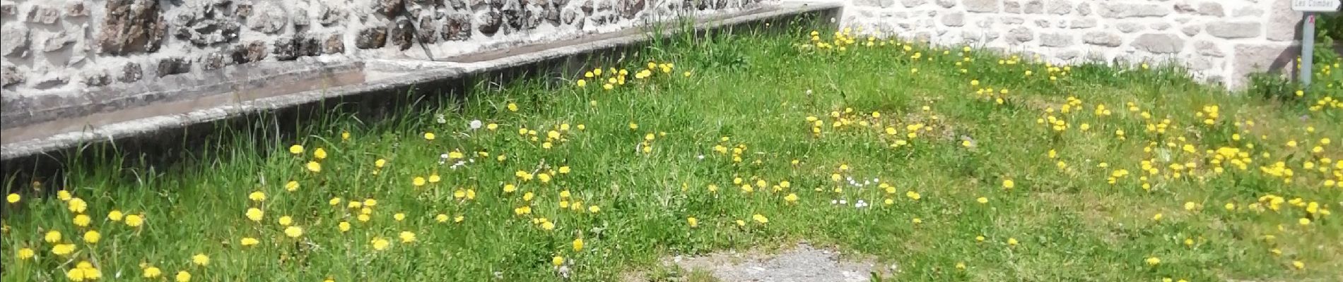
Photos


Positioning
Country:
France
Region :
New Aquitaine
Department/Province :
Corrèze
Municipality :
Peyrelevade
Location:
Unknown
Start:(Dec)
Start:(UTM)
426752 ; 5065325 (31T) N.
Comments