


st christophe

papou73
User
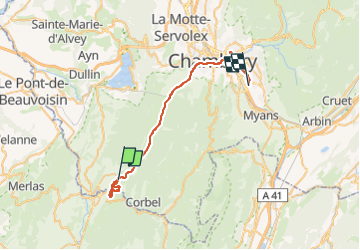

Length
35 km

Max alt
644 m

Uphill gradient
704 m
Km-Effort
45 km

Min alt
274 m

Downhill gradient
954 m
Boucle
No
Creation date :
2022-05-02 11:35:45.882
Updated on :
2022-05-03 16:41:18.476
3h29
Difficulty : Very difficult

FREE GPS app for hiking
 SityTrail
IGN / Geographical institutes
SityTrail Plus
The world is yours!
About
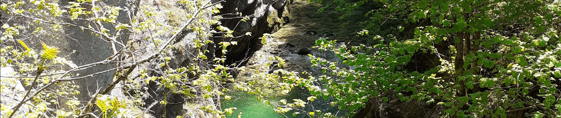
Trail Walking of 35 km to be discovered at Auvergne-Rhône-Alpes, Savoy, Saint-Christophe. This trail is proposed by papou73.
Photos


Positioning
Country:
France
Region :
Auvergne-Rhône-Alpes
Department/Province :
Savoy
Municipality :
Saint-Christophe
Location:
Unknown
Start:(Dec)
Start:(UTM)
718295 ; 5036981 (31T) N.
Comments