


Circuit pédestre du Marais Vernier

FRayssac
User

Length
5.4 km

Max alt
9 m

Uphill gradient
26 m
Km-Effort
5.7 km

Min alt
-1 m

Downhill gradient
26 m
Boucle
Yes
Creation date :
2022-05-05 14:51:14.828
Updated on :
2022-05-05 16:24:26.164
1h22
Difficulty : Easy

FREE GPS app for hiking
 SityTrail
IGN / Geographical institutes
SityTrail Plus
The world is yours!
About
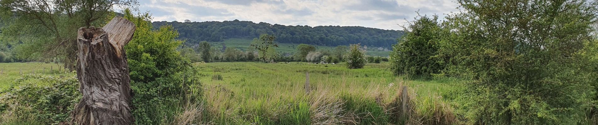
Trail Walking of 5.4 km to be discovered at Normandy, Eure, Marais-Vernier. This trail is proposed by FRayssac.
Photos


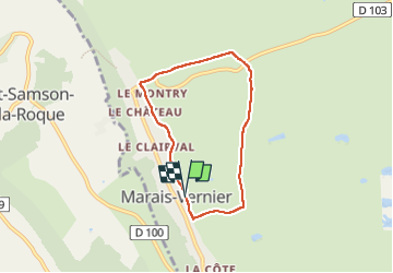
Positioning
Country:
France
Region :
Normandy
Department/Province :
Eure
Municipality :
Marais-Vernier
Location:
Unknown
Start:(Dec)
Start:(UTM)
315567 ; 5477066 (31U) N.
Comments