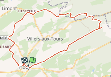
Hody . drive d Anthisnes . carrière . Targnon . Hestreux . Fond de Sart . Hody

stef789
User GUIDE

Length
11.5 km

Max alt
300 m

Uphill gradient
206 m
Km-Effort
14.2 km

Min alt
193 m

Downhill gradient
205 m
Boucle
Yes
Creation date :
2022-05-07 09:46:57.974
Updated on :
2022-05-07 13:13:42.01
3h06
Difficulty : Easy

FREE GPS app for hiking
 SityTrail
IGN / Geographical institutes
SityTrail Plus
The world is yours!
About
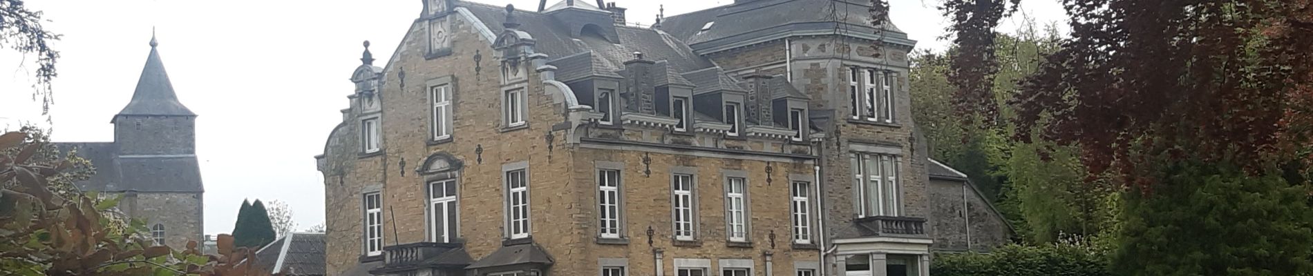
Trail Walking of 11.5 km to be discovered at Wallonia, Liège, Anthisnes. This trail is proposed by stef789.
Photos


Positioning
Country:
Belgium
Region :
Wallonia
Department/Province :
Liège
Municipality :
Anthisnes
Location:
Unknown
Start:(Dec)
Start:(UTM)
677570 ; 5595759 (31U) N.
Comments