


lac noir

papou73
User
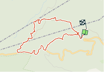

Length
5.6 km

Max alt
943 m

Uphill gradient
294 m
Km-Effort
9.6 km

Min alt
634 m

Downhill gradient
318 m
Boucle
No
Creation date :
2022-05-09 11:15:56.779
Updated on :
2022-05-09 14:04:07.221
2h09
Difficulty : Medium

FREE GPS app for hiking
 SityTrail
IGN / Geographical institutes
SityTrail Plus
The world is yours!
About
Trail Walking of 5.6 km to be discovered at Auvergne-Rhône-Alpes, Isère, Chapareillan. This trail is proposed by papou73.
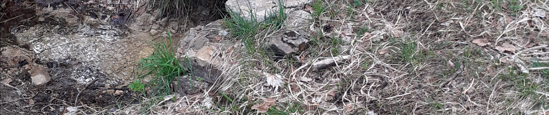
Photos

Positioning
Country:
France
Region :
Auvergne-Rhône-Alpes
Department/Province :
Isère
Municipality :
Chapareillan
Location:
Unknown
Start:(Dec)
Start:(UTM)
730367 ; 5040574 (31T) N.
Comments