


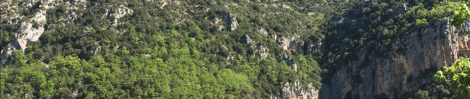
Gorges du Verdon - Sentier de l'Imbut

PiloudeBamako
User
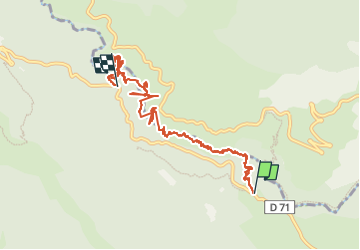


3h35
Difficulty : Very difficult

FREE GPS app for hiking
 SityTrail
IGN / Geographical institutes
SityTrail Plus
The world is yours!
About
Trail Walking of 11.3 km to be discovered at Provence-Alpes-Côte d'Azur, Var, Aiguines. This trail is proposed by PiloudeBamako.
Description
NB: la trace ne va pas tout-à-fait jusqu'à l'Imbut. Elle s'arrête là,ou part le sentier de remontée directe dit "sentier Vidal". Attention, ce sentier Vidal est interdit à la descente car très vertigineux bien que parfaitement équipé de rampes scellées à la paroi pour permettre la remontée. Remontée en aérien total au-dessus du vide.
Photos


51 photos in total. Please click on a photo to see them all in the gallery.
Positioning
Comments