


boucle laurabuc bespllas

leroj73
User
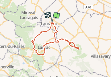

Length
17.9 km

Max alt
394 m

Uphill gradient
438 m
Km-Effort
24 km

Min alt
181 m

Downhill gradient
438 m
Boucle
Yes
Creation date :
2022-05-14 07:29:11.456
Updated on :
2022-05-14 13:41:07.999
5h23
Difficulty : Medium

FREE GPS app for hiking
 SityTrail
IGN / Geographical institutes
SityTrail Plus
The world is yours!
About
Trail Walking of 17.9 km to be discovered at Occitania, Aude, Laurabuc. This trail is proposed by leroj73.
Description
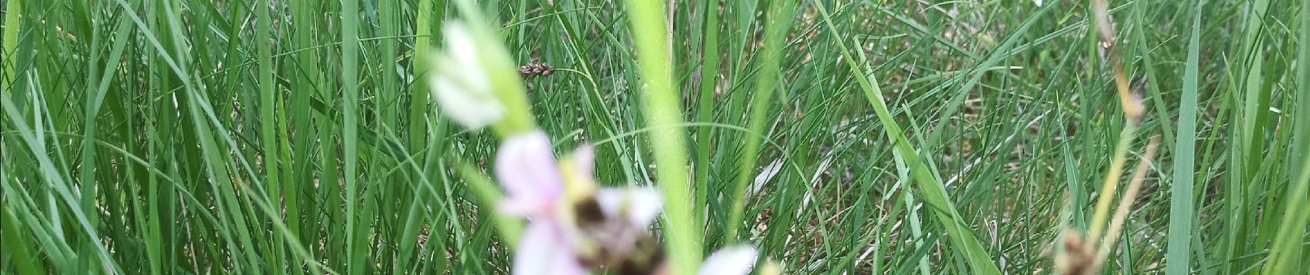
sympathique chemin
Photos

Positioning
Country:
France
Region :
Occitania
Department/Province :
Aude
Municipality :
Laurabuc
Location:
Unknown
Start:(Dec)
Start:(UTM)
417544 ; 4788872 (31T) N.
Comments