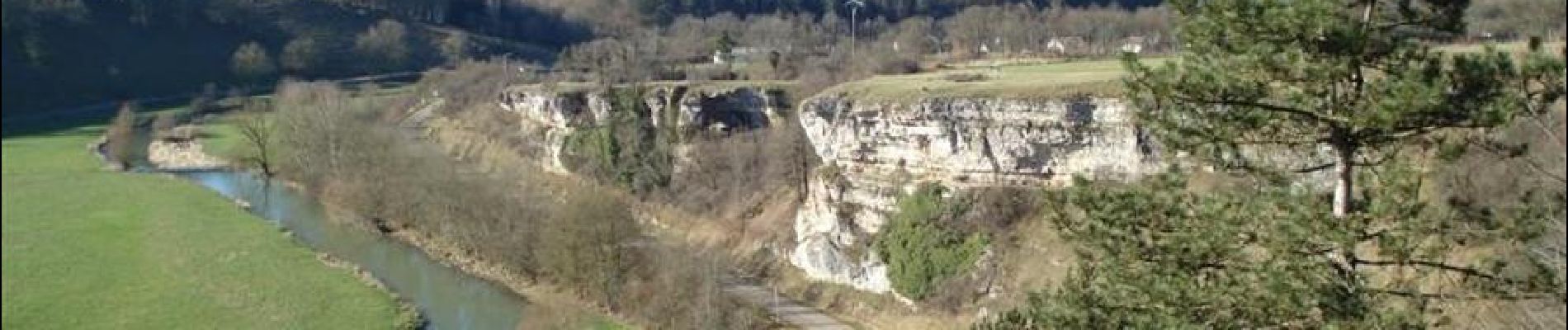
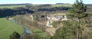
le sentier des roches

mannequ1
User
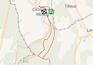

Length
6.8 km

Max alt
433 m

Uphill gradient
214 m
Km-Effort
9.6 km

Min alt
300 m

Downhill gradient
209 m
Boucle
Yes
Creation date :
2014-12-10 00:00:00.0
Updated on :
2014-12-10 00:00:00.0
2h04
Difficulty : Easy

FREE GPS app for hiking
 SityTrail
IGN / Geographical institutes
SityTrail Plus
The world is yours!
About
Trail Walking of 6.8 km to be discovered at Grand Est, Vosges, Circourt-sur-Mouzon. This trail is proposed by mannequ1.
Photos


Positioning
Country:
France
Region :
Grand Est
Department/Province :
Vosges
Municipality :
Circourt-sur-Mouzon
Location:
Unknown
Start:(Dec)
Start:(UTM)
701207 ; 5352654 (31U) N.
Comments