


arsel à Collias gard

labarone
User
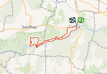


6h58
Difficulty : Difficult

FREE GPS app for hiking
 SityTrail
IGN / Geographical institutes
SityTrail Plus
The world is yours!
About
Trail Walking of 15.7 km to be discovered at Occitania, Gard, Collias. This trail is proposed by labarone.
Description
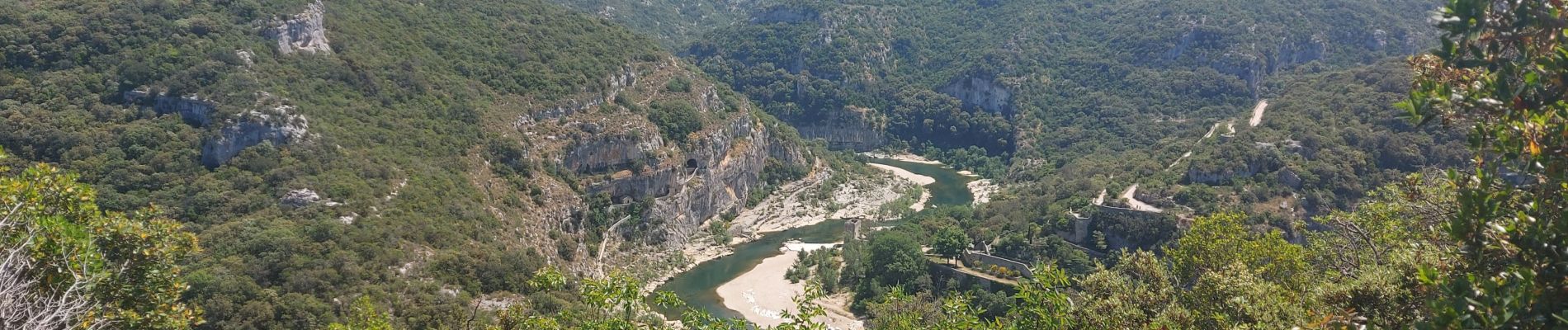
rando difficile en bordure de falaise au dessus du Gardon.Faisable mais avec prudence.A éviter absolument pour les vertiges.
A eviter aussi par chaleurs.Sinon vues splendides sur le gardon
FIN de rando en bordure du Gardon
Photos


Positioning
Comments