


reco partielle chemins d'Isabelle

CDSM 55
User
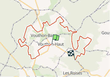

Length
22 km

Max alt
436 m

Uphill gradient
365 m
Km-Effort
27 km

Min alt
304 m

Downhill gradient
383 m
Boucle
No
Creation date :
2022-05-18 15:31:36.608
Updated on :
2022-05-18 17:51:47.086
1h55
Difficulty : Medium

FREE GPS app for hiking
 SityTrail
IGN / Geographical institutes
SityTrail Plus
The world is yours!
About
Trail Mountain bike of 22 km to be discovered at Grand Est, Meuse, Vouthon-Haut. This trail is proposed by CDSM 55.
Description
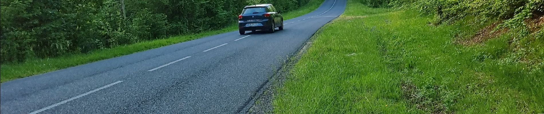
jusque sur la route
Photos

Positioning
Country:
France
Region :
Grand Est
Department/Province :
Meuse
Municipality :
Vouthon-Haut
Location:
Unknown
Start:(Dec)
Start:(UTM)
693499 ; 5372551 (31U) N.
Comments