


Serierra Ota

avdem
User


Length
13.6 km

Max alt
974 m

Uphill gradient
1065 m
Km-Effort
27 km

Min alt
64 m

Downhill gradient
803 m
Boucle
No
Creation date :
2022-05-20 05:45:45.876
Updated on :
2022-05-20 14:42:57.567
4h44
Difficulty : Difficult

FREE GPS app for hiking
 SityTrail
IGN / Geographical institutes
SityTrail Plus
The world is yours!
About
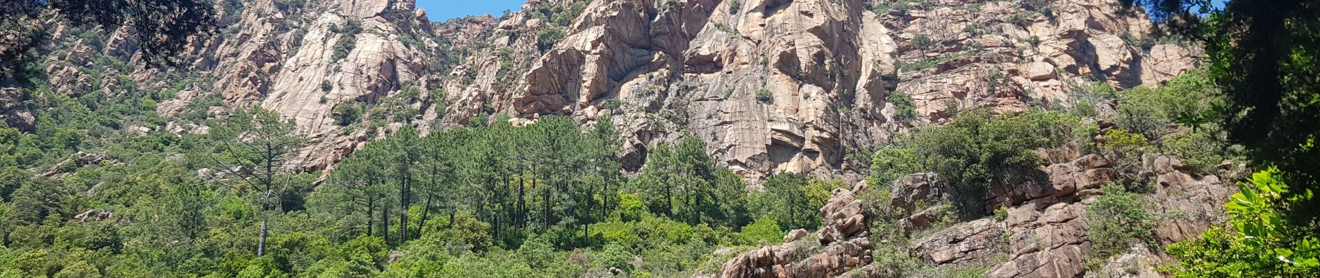
Trail Walking of 13.6 km to be discovered at Corsica, South Corsica, Serriera. This trail is proposed by avdem.
Description
Difficile
Photos


Positioning
Country:
France
Region :
Corsica
Department/Province :
South Corsica
Municipality :
Serriera
Location:
Unknown
Start:(Dec)
Start:(UTM)
475919 ; 4683113 (32T) N.
Comments