


Le cun nant

Glurps
User

Length
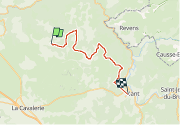
20 km

Max alt
857 m

Uphill gradient
428 m
Km-Effort
27 km

Min alt
499 m

Downhill gradient
727 m
Boucle
No
Creation date :
2022-05-21 06:01:54.0
Updated on :
2022-05-21 14:28:58.147
5h15
Difficulty : Very difficult

FREE GPS app for hiking
 SityTrail
IGN / Geographical institutes
SityTrail Plus
The world is yours!
About
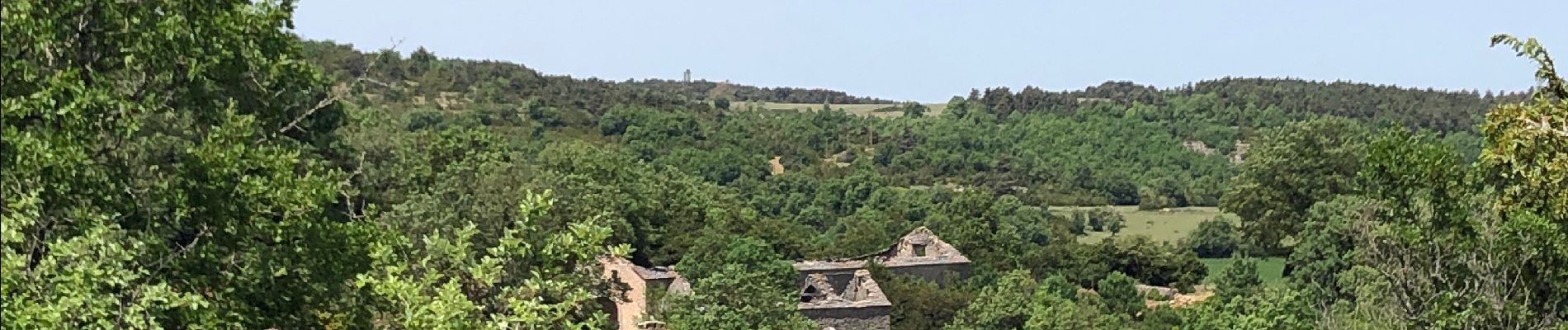
Trail Walking of 20 km to be discovered at Occitania, Aveyron, Millau. This trail is proposed by Glurps.
Photos


Positioning
Country:
France
Region :
Occitania
Department/Province :
Aveyron
Municipality :
Millau
Location:
Unknown
Start:(Dec)
Start:(UTM)
515205 ; 4879898 (31T) N.
Comments