


le hameau de ville

pln30
User
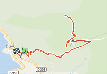


2h02
Difficulty : Easy

FREE GPS app for hiking
 SityTrail
IGN / Geographical institutes
SityTrail Plus
The world is yours!
About
Trail Walking of 4.3 km to be discovered at Provence-Alpes-Côte d'Azur, Alpes-de-Haute-Provence, Demandolx. This trail is proposed by pln30.
Description
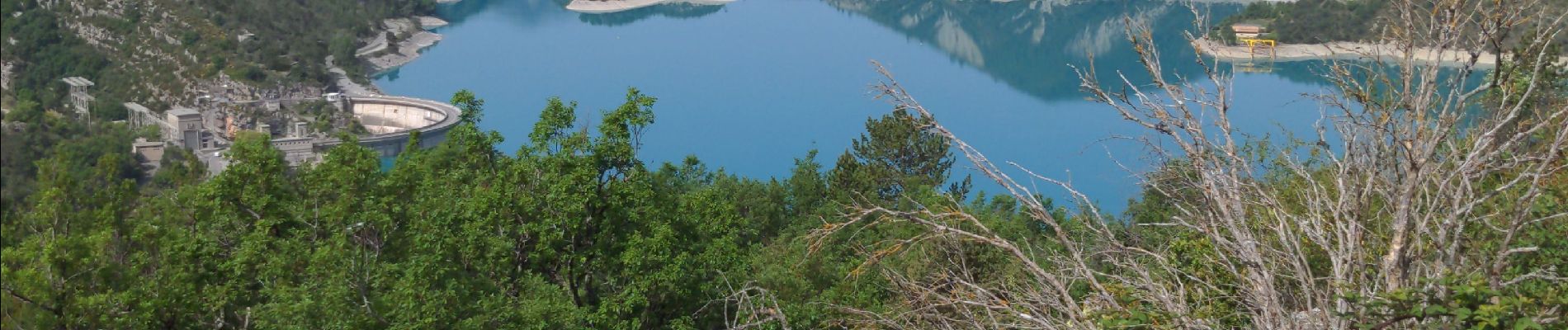
un très joli ancien hameau qui surplombe le lac du castillon, 2 accès possible soit par ce chemin de randonnée, soit plus haut sur la c2, se trouve une piste à niveau avec le hameau. ne pas oublier une fois au hameau d'aller découvrir la chapelle qui se trouve au delà de la crête
Photos


Positioning
Comments