


Ota Mariniana

avdem
User

Length
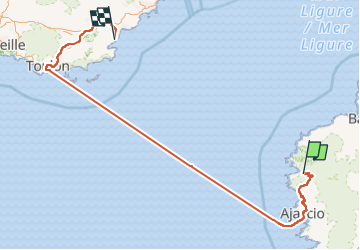
473 km
Boucle
No
Creation date :
2022-05-21 06:27:24.942
Updated on :
2022-05-23 07:50:41.773
11h45
Difficulty : Medium

FREE GPS app for hiking
 SityTrail
IGN / Geographical institutes
SityTrail Plus
The world is yours!
About
Trail Walking of 473 km to be discovered at Corsica, South Corsica, Ota. This trail is proposed by avdem.
Description
un pose restauration a Evisa s impose avant de continuer vers le gite
Photos


Positioning
Country:
France
Region :
Corsica
Department/Province :
South Corsica
Municipality :
Ota
Location:
Unknown
Start:(Dec)
Start:(UTM)
478942 ; 4678398 (32T) N.
Comments