


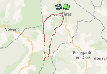
Jonchères

alinetpierre
User

Length
12.1 km

Max alt
1514 m

Uphill gradient
640 m
Km-Effort
21 km

Min alt
893 m

Downhill gradient
639 m
Boucle
Yes
Creation date :
2022-05-23 07:05:53.0
Updated on :
2022-05-23 13:05:28.843
3h58
Difficulty : Very easy

FREE GPS app for hiking
 SityTrail
IGN / Geographical institutes
SityTrail Plus
The world is yours!
About
Trail Walking of 12.1 km to be discovered at Auvergne-Rhône-Alpes, Drôme, Jonchères. This trail is proposed by alinetpierre.
Description
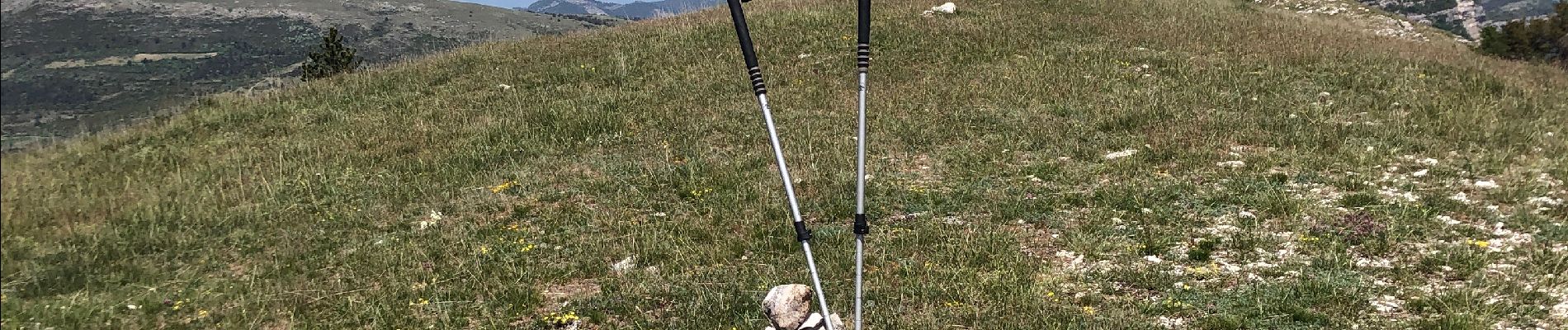
Journée amicale pivoines.
Simplement magnifique.
Photos


Positioning
Country:
France
Region :
Auvergne-Rhône-Alpes
Department/Province :
Drôme
Municipality :
Jonchères
Location:
Unknown
Start:(Dec)
Start:(UTM)
690865 ; 4938193 (31T) N.
Comments