


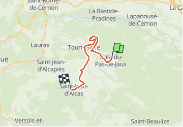
Viala St jean d alias

Glurps
User

Length
16.4 km

Max alt
825 m

Uphill gradient
249 m
Km-Effort
20 km

Min alt
504 m

Downhill gradient
452 m
Boucle
No
Creation date :
2022-05-23 09:35:44.0
Updated on :
2022-05-23 15:31:50.066
4h57
Difficulty : Very difficult

FREE GPS app for hiking
 SityTrail
IGN / Geographical institutes
SityTrail Plus
The world is yours!
About
Trail Walking of 16.4 km to be discovered at Occitania, Aveyron, Viala-du-Pas-de-Jaux. This trail is proposed by Glurps.
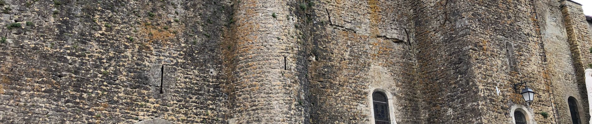
Photos


Positioning
Country:
France
Region :
Occitania
Department/Province :
Aveyron
Municipality :
Viala-du-Pas-de-Jaux
Location:
Unknown
Start:(Dec)
Start:(UTM)
504520 ; 4867125 (31T) N.
Comments