


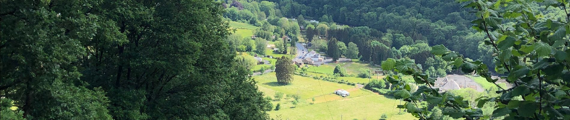
Nonceveux 12 Km

Efr
User
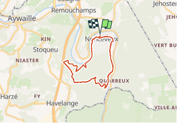

Length
11.7 km

Max alt
380 m

Uphill gradient
307 m
Km-Effort
15.8 km

Min alt
143 m

Downhill gradient
308 m
Boucle
Yes
Creation date :
2022-05-24 08:01:10.0
Updated on :
2022-05-24 19:14:27.442
3h00
Difficulty : Easy

FREE GPS app for hiking
 SityTrail
IGN / Geographical institutes
SityTrail Plus
The world is yours!
About
Trail Walking of 11.7 km to be discovered at Wallonia, Liège, Aywaille. This trail is proposed by Efr.
Description
Depart :Eglise de Nonceveux
Photos


Positioning
Country:
Belgium
Region :
Wallonia
Department/Province :
Liège
Municipality :
Aywaille
Location:
Unknown
Start:(Dec)
Start:(UTM)
693821 ; 5594254 (31U) N.
Comments