


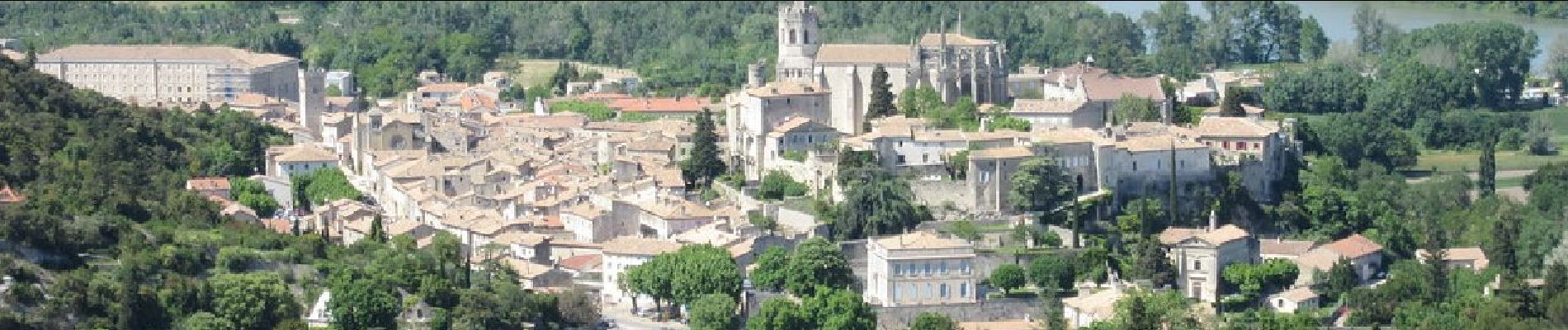
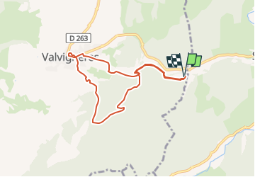
Valvignères le Moulinas 8km.

chancha
User GUIDE

Length
7.9 km

Max alt
325 m

Uphill gradient
274 m
Km-Effort
11.5 km

Min alt
126 m

Downhill gradient
276 m
Boucle
Yes
Creation date :
2022-05-27 06:04:44.477
Updated on :
2024-10-19 13:21:45.256
2h37
Difficulty : Medium

FREE GPS app for hiking
 SityTrail
IGN / Geographical institutes
SityTrail Plus
The world is yours!
About
Trail Walking of 7.9 km to be discovered at Auvergne-Rhône-Alpes, Ardèche, Valvignères. This trail is proposed by chancha.
Photos


Positioning
Country:
France
Region :
Auvergne-Rhône-Alpes
Department/Province :
Ardèche
Municipality :
Valvignères
Location:
Unknown
Start:(Dec)
Start:(UTM)
625245 ; 4928646 (31T) N.
Comments