


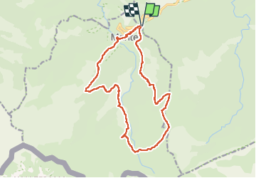

19.4 km | 34 km-effort

User


FREE GPS app for hiking
 SityTrail
IGN / Geographical institutes
SityTrail World
The world is yours!
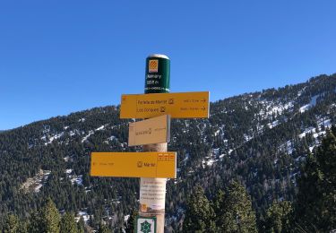
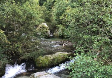
Trail Walking of 19.5 km to be discovered at Occitania, Pyrénées-Orientales, Py. This trail is proposed by ThonyM.
Pour un tour “très” spécial à cause d’une portion mal définie sur la carte


Walking

Snowshoes

Walking

Walking
Walking
Walking

Walking
Walking

Walking