l étang bleu

bellouelo46
User
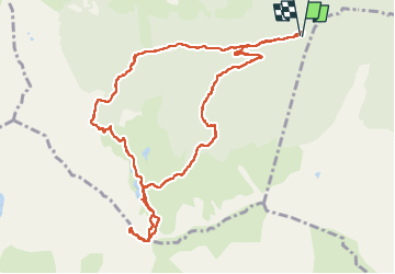

Length
13 km

Max alt
2021 m

Uphill gradient
1001 m
Km-Effort
26 km

Min alt
1033 m

Downhill gradient
995 m
Boucle
Yes
Creation date :
2022-05-28 07:21:49.931
Updated on :
2022-05-29 09:05:27.681
5h55
Difficulty : Medium

FREE GPS app for hiking
 SityTrail
IGN / Geographical institutes
SityTrail Plus
The world is yours!
About
Trail Walking of 13 km to be discovered at Occitania, Ariège, Rabat-les-Trois-Seigneurs. This trail is proposed by bellouelo46.
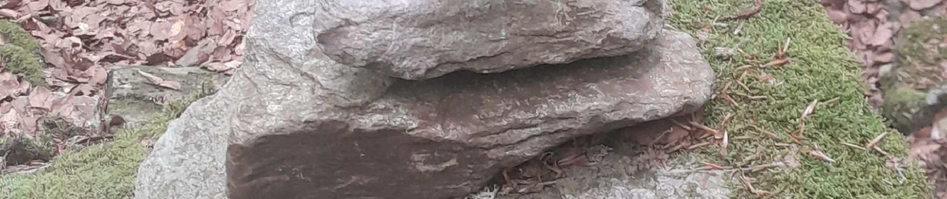
Photos


Positioning
Country:
France
Region :
Occitania
Department/Province :
Ariège
Municipality :
Rabat-les-Trois-Seigneurs
Location:
Unknown
Start:(Dec)
Start:(UTM)
376226 ; 4744184 (31T) N.
Comments