


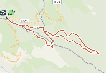
fraize_11km

ZAMBAUX
User

Length
11.8 km

Max alt
809 m

Uphill gradient
372 m
Km-Effort
16.8 km

Min alt
670 m

Downhill gradient
372 m
Boucle
Yes
Creation date :
2022-05-31 07:28:18.312
Updated on :
2022-05-31 10:27:12.676
2h58
Difficulty : Difficult

FREE GPS app for hiking
 SityTrail
IGN / Geographical institutes
SityTrail Plus
The world is yours!
About
Trail Walking of 11.8 km to be discovered at Grand Est, Vosges, Mandray. This trail is proposed by ZAMBAUX.
Positioning
Country:
France
Region :
Grand Est
Department/Province :
Vosges
Municipality :
Mandray
Location:
Unknown
Start:(Dec)
Start:(UTM)
352255 ; 5340645 (32U) N.
Comments