Trail Walking Saint-Pierre-de-Chartreuse - Col de la Ruchère-2022-06-01 - Photo
© OpenStreetMap contributors
Length
Length
12.3 km
Max alt
Max alt
1418 m
Uphill gradient
Uphill gradient
612 m
Km-Effort
Km-Effort  
20 km
Min alt
Min alt
859 m
Downhill gradient
Downhill gradient
613 m
Boucle
Boucle
Yes
Creation date :
2022-06-02 04:57:18.89
Updated on :
2022-06-02 05:06:00.361

(0 Reviews)

Walking
Walking
4h39
Difficulty : Very difficult

Scan this QR Code to open this trail in the SityTrail application

FREE GPS app for hiking

Logo SityTrail SityTrail

IGN / Geographical institutes

Download SityTrail from the App Store Download SityTrail from Google Play

Logo SityTrail SityTrail Plus

The world is yours!

Download SityTrail from the App Store Download SityTrail from Google Play Download SityTrail on Huawei AppGallery

About

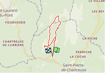
Trail Walking of 12.3 km to be discovered at Auvergne-Rhône-Alpes, Isère, Saint-Pierre-de-Chartreuse. This trail is proposed by Valmeinier.

Description

- Depuis la Correrie départ vers le Couvent
- Montée depuis la scierie par la piste jusqu'à l'Habert de Chartrousette.
- Habert de Billon
- On poursuit en direction du Col de la Ruchère
- descente sur la Chapelle de Casabulus
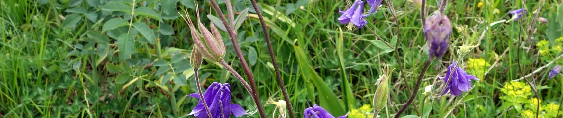
Elevation profile

Photos

Positioning

Country:
France
Region :
Auvergne-Rhône-Alpes
Department/Province :
Isère
Municipality :
Saint-Pierre-de-Chartreuse
Location:
Unknown
Start:(UTM)
718507 ; 5025778 (31T) N.


Close
My subscriptions