


Boucle verfeil

Glurps
User
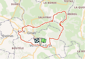

Length
20 km

Max alt
370 m

Uphill gradient
584 m
Km-Effort
28 km

Min alt
180 m

Downhill gradient
580 m
Boucle
Yes
Creation date :
2022-06-02 09:02:57.0
Updated on :
2022-06-02 16:08:09.117
6h28
Difficulty : Difficult

FREE GPS app for hiking
 SityTrail
IGN / Geographical institutes
SityTrail Plus
The world is yours!
About
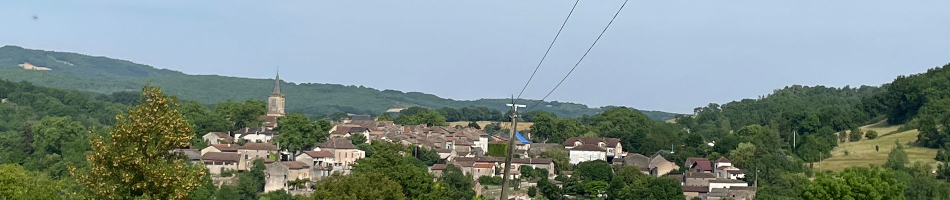
Trail Walking of 20 km to be discovered at Occitania, Tarn-et-Garonne, Verfeil-sur-Seye. This trail is proposed by Glurps.
Photos


Positioning
Country:
France
Region :
Occitania
Department/Province :
Tarn-et-Garonne
Municipality :
Verfeil-sur-Seye
Location:
Unknown
Start:(Dec)
Start:(UTM)
410247 ; 4893200 (31T) N.
Comments