


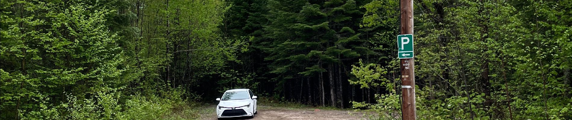
QC - Lac Édouard - Les Bouleaux

catchou4
User
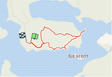

Length
3.8 km

Max alt
423 m

Uphill gradient
87 m
Km-Effort
5 km

Min alt
359 m

Downhill gradient
97 m
Boucle
Yes
Creation date :
2022-06-03 16:02:04.0
Updated on :
2022-06-04 17:14:13.398
1h17
Difficulty : Medium

FREE GPS app for hiking
 SityTrail
IGN / Geographical institutes
SityTrail World
The world is yours!
About
Trail Walking of 3.8 km to be discovered at Quebec, La Tuque (agglomération), Lac-Édouard. This trail is proposed by catchou4.
Photos


Positioning
Country:
Canada
Region :
Quebec
Department/Province :
La Tuque (agglomération)
Municipality :
Lac-Édouard
Location:
Unknown
Start:(Dec)
Start:(UTM)
701395 ; 5280655 (18T) N.
Comments
Trails nearby