Trail Other activity Margaux-Cantenac - Blaye en kayak  - Photo
© OpenStreetMap contributors
Length
Length
32 km
Max alt
Max alt
8 m
Uphill gradient
Uphill gradient
52 m
Km-Effort
Km-Effort  
33 km
Min alt
Min alt
-2 m
Downhill gradient
Downhill gradient
51 m
Boucle
Boucle
Yes
Creation date :
2014-12-10 00:00:00.0
Updated on :
2014-12-10 00:00:00.0

(0 Reviews)

Other activity
Other activity
5h09
Difficulty : Medium

Scan this QR Code to open this trail in the SityTrail application

FREE GPS app for hiking

Logo SityTrail SityTrail

IGN / Geographical institutes

Download SityTrail from the App Store Download SityTrail from Google Play

Logo SityTrail SityTrail World

The world is yours!

Download SityTrail from the App Store Download SityTrail from Google Play Download SityTrail on Huawei AppGallery

About

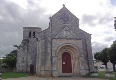
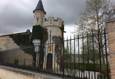
Trail Other activity of 32 km to be discovered at New Aquitaine, Gironde, Margaux-Cantenac. This trail is proposed by myjackotte.

Description

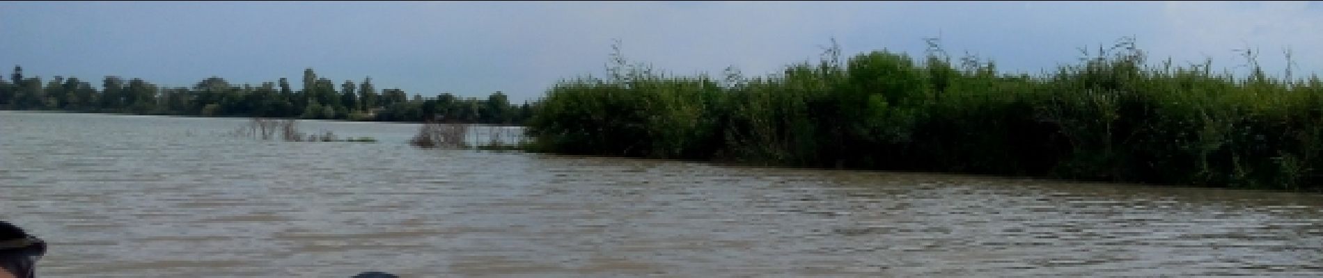
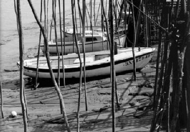
descente avec la marée le long de l'île verte puis traversée devant le fort pate accostage  sur le ponton mobile en attendant que les quais  soit accessibles.  visite de ma citadelle par contre la ville est inanimée pour la retour tentative de reprendre le même  côté de l'île verte mais impossible il aurait  famille le prendre bien en aval  trop de courant sur la pointe donc c'est le tour de l'île mais c'est long.  

Elevation profile

Photos

Positioning

Country:
France
Region :
New Aquitaine
Department/Province :
Gironde
Municipality :
Margaux-Cantenac
Location:
Unknown
Start:(UTM)
685530 ; 4990484 (30T) N.

Trails nearby

Trail Walking Gauriac - Corniche de Gironde - Photo
Walking
mongo

Walking

Medium
(3)
Gauriac, New Aquitaine, Gironde, France
14.1 km | 16.8 km-effort
3h 15min
Yes
Trail On foot Villeneuve - Balade de l'Estuaire - Photo
On foot
PRO

On foot

Easy
Villeneuve, New Aquitaine, Gironde, France
13.2 km | 15.8 km-effort
3h 35min
Yes
Trail Cycle Margaux-Cantenac -  Autour d'Issan - Entre vigne et Garonne - Photo
Cycle
tracegps

Cycle

Medium
Margaux-Cantenac, New Aquitaine, Gironde, France
13 km | 13.9 km-effort
1h 15min
Yes
Trail Mountain bike Margaux-Cantenac -  Autour d'Issan - Entre vigne et Garonne - Photo
Mountain bike
tracegps

Mountain bike

Medium
Margaux-Cantenac, New Aquitaine, Gironde, France
13 km | 13.9 km-effort
1h 0min
Yes
Trail Walking Margaux-Cantenac -  Autour d'Issan - Entre vigne et Garonne - Photo
Walking
tracegps

Walking

Medium
(2)
Margaux-Cantenac, New Aquitaine, Gironde, France
13 km | 13.9 km-effort
2h 30min
Yes
Trail Walking Bayon-sur-Gironde - Bayon ses vignes et la Gironde  - Photo
Walking
jeanjean37

Walking

Very easy
Bayon-sur-Gironde, New Aquitaine, Gironde, France
3.6 km | 4.2 km-effort
55min
Yes
Trail Walking Margaux-Cantenac - Margaux - Photo
Walking
jgu5108

Walking

Easy
Margaux-Cantenac, New Aquitaine, Gironde, France
11.4 km | 12.2 km-effort
2h 23min
Yes
Trail Walking Soussans - marai de Soussan - Photo
Walking
EdithReuzeau

Walking

Very easy
Soussans, New Aquitaine, Gironde, France
6 km | 6.4 km-effort
1h 44min
Yes
Trail Walking Margaux-Cantenac - LSG Châteaux Margaux avril 2017 - Photo
Walking
lsg1956

Walking

Very easy
Margaux-Cantenac, New Aquitaine, Gironde, France
13.2 km | 14.1 km-effort
2h 23min
Yes


Close
My subscriptions