


Puy de Jumes puy de la Coquille

alinetpierre
User
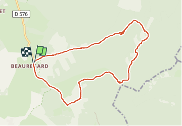

Length
9.7 km

Max alt
1152 m

Uphill gradient
281 m
Km-Effort
13.5 km

Min alt
893 m

Downhill gradient
291 m
Boucle
Yes
Creation date :
2022-06-09 12:55:50.984
Updated on :
2022-06-09 15:58:42.0
2h28
Difficulty : Easy

FREE GPS app for hiking
 SityTrail
IGN / Geographical institutes
SityTrail Plus
The world is yours!
About
Trail Walking of 9.7 km to be discovered at Auvergne-Rhône-Alpes, Puy-de-Dôme, Saint-Ours. This trail is proposed by alinetpierre.
Description
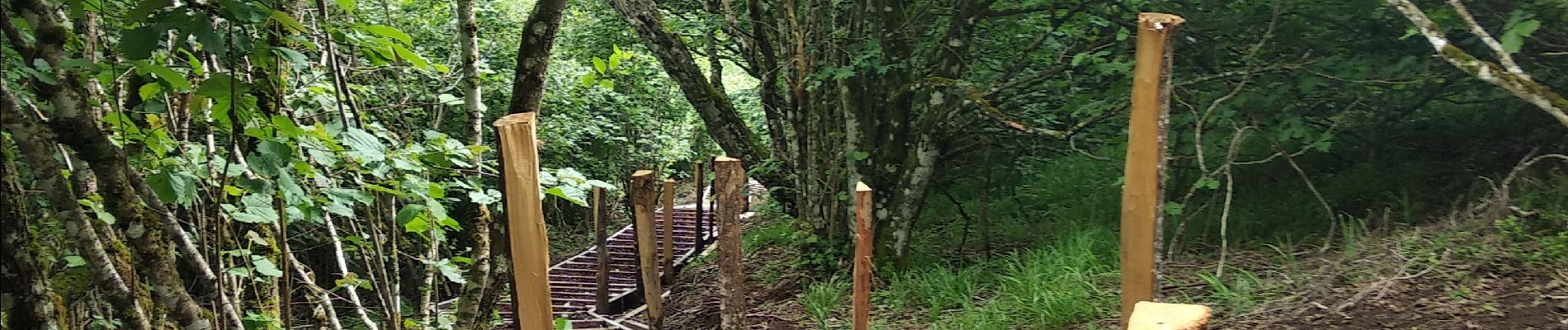
belle randonnée, très bien aménagée.
Photos


Positioning
Country:
France
Region :
Auvergne-Rhône-Alpes
Department/Province :
Puy-de-Dôme
Municipality :
Saint-Ours
Location:
Unknown
Start:(Dec)
Start:(UTM)
494577 ; 5076467 (31T) N.
Comments