


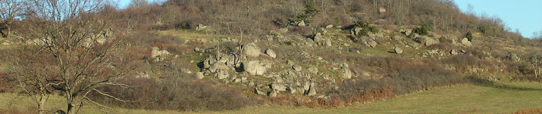
2022-06-10_09h02m38_Autour du Mont Redon

Gegetop
User


Length
12 km

Max alt
857 m

Uphill gradient
337 m
Km-Effort
16.5 km

Min alt
603 m

Downhill gradient
336 m
Boucle
Yes
Creation date :
2022-06-10 07:02:39.3
Updated on :
2022-09-12 15:39:46.207
3h45
Difficulty : Difficult

FREE GPS app for hiking
 SityTrail
IGN / Geographical institutes
SityTrail Plus
The world is yours!
About
Trail Walking of 12 km to be discovered at Auvergne-Rhône-Alpes, Puy-de-Dôme, Aydat. This trail is proposed by Gegetop.
Photos

Positioning
Country:
France
Region :
Auvergne-Rhône-Alpes
Department/Province :
Puy-de-Dôme
Municipality :
Aydat
Location:
Unknown
Start:(Dec)
Start:(UTM)
500560 ; 5057564 (31T) N.
Comments