


Landrichamps 100622

guyernage25
User


Length
19.9 km

Max alt
376 m

Uphill gradient
421 m
Km-Effort
26 km

Min alt
140 m

Downhill gradient
422 m
Boucle
Yes
Creation date :
2022-06-10 07:29:33.796
Updated on :
2022-06-13 05:34:15.916
5h02
Difficulty : Medium

FREE GPS app for hiking
 SityTrail
IGN / Geographical institutes
SityTrail Plus
The world is yours!
About
Trail Walking of 19.9 km to be discovered at Grand Est, Ardennes, Landrichamps. This trail is proposed by guyernage25.
Description
Très belle rando forestière traversée par de multiples ruisseaux
Photos


Positioning
Country:
France
Region :
Grand Est
Department/Province :
Ardennes
Municipality :
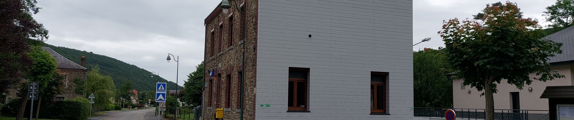
Landrichamps
Location:
Unknown
Start:(Dec)
Start:(UTM)
630884 ; 5550151 (31U) N.
Comments