


Sauvesannelles

Gegetop
User


Length
12.9 km

Max alt
1008 m

Uphill gradient
316 m
Km-Effort
17.1 km

Min alt
795 m

Downhill gradient
316 m
Boucle
Yes
Creation date :
2022-06-14 08:51:16.576
Updated on :
2022-06-15 08:49:42.646
3h50
Difficulty : Medium
3h23
Difficulty : Medium

FREE GPS app for hiking
 SityTrail
IGN / Geographical institutes
SityTrail Plus
The world is yours!
About
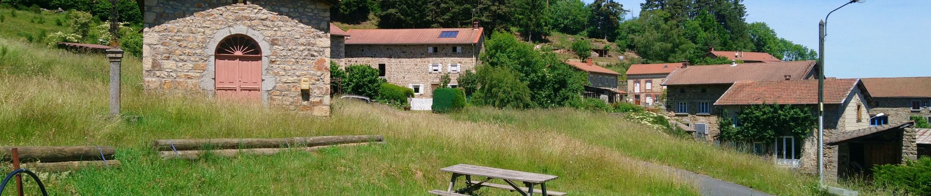
Trail Walking of 12.9 km to be discovered at Auvergne-Rhône-Alpes, Puy-de-Dôme, Sauvessanges. This trail is proposed by Gegetop.
Description
Départ du camping du Bandier.
Circuit en boucle.
Photos

Positioning
Country:
France
Region :
Auvergne-Rhône-Alpes
Department/Province :
Puy-de-Dôme
Municipality :
Sauvessanges
Location:
Unknown
Start:(Dec)
Start:(UTM)
569716 ; 5026440 (31T) N.
Comments