


Peitt-Som-2022-06-19

Valmeinier
User


6h31
Difficulty : Medium

FREE GPS app for hiking
 SityTrail
IGN / Geographical institutes
SityTrail Plus
The world is yours!
About
Trail Walking of 14.7 km to be discovered at Auvergne-Rhône-Alpes, Isère, Saint-Pierre-de-Chartreuse. This trail is proposed by Valmeinier.
Description
Départ de la Correrie
- Montée par le "chemin des bélvédères" (GRP Tour de Chartreuse)
- Rejoindre le sentier venant de Bourdoire à la cote 1410 m. - Poursuivre ce sentier jusqu'à l'Habert de Bovinant (1630 m)
- Prendre à gauche la direction du Petit Som (1761m) en passant par le Col de Lechaud (1704 m).
- Depuis le sommet du Petit Som revenir au Col de Léchaud et prendre le sentier qui descend à droite pour rejoindre versla cote 1570 m le sentier en provenance du chemin de montée à Bivinant.
- prendre à droite pour atteindre le Pas du Loup
- Descendre sur le Col de la Ruchère (1418 m) puis vers la Chapelle de Casalibus (1197 m) en passant a proximité des ruines l'ancien ermitage
- retour jusqu'à la Correrie
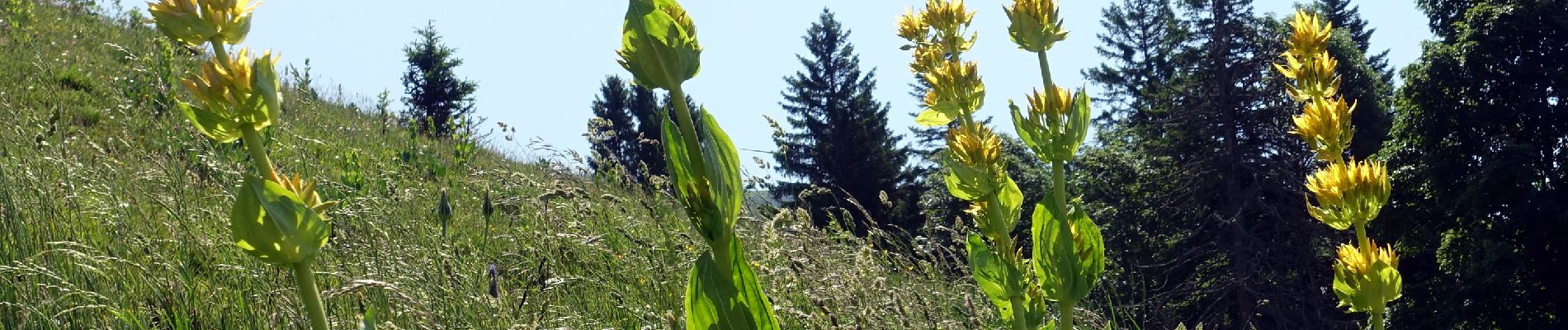
Photos


Positioning
Comments