


220620-StJean.Vêtre - StDidier/Rochefort

randodan
User
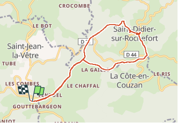

Length
9.4 km

Max alt
875 m

Uphill gradient
234 m
Km-Effort
12.5 km

Min alt
671 m

Downhill gradient
232 m
Boucle
Yes
Creation date :
2022-06-20 07:18:34.003
Updated on :
2022-06-21 14:24:40.833
3h20
Difficulty : Medium

FREE GPS app for hiking
 SityTrail
IGN / Geographical institutes
SityTrail Plus
The world is yours!
About
Trail Walking of 9.4 km to be discovered at Auvergne-Rhône-Alpes, Loire, Saint-Jean-la-Vêtre. This trail is proposed by randodan.
Description
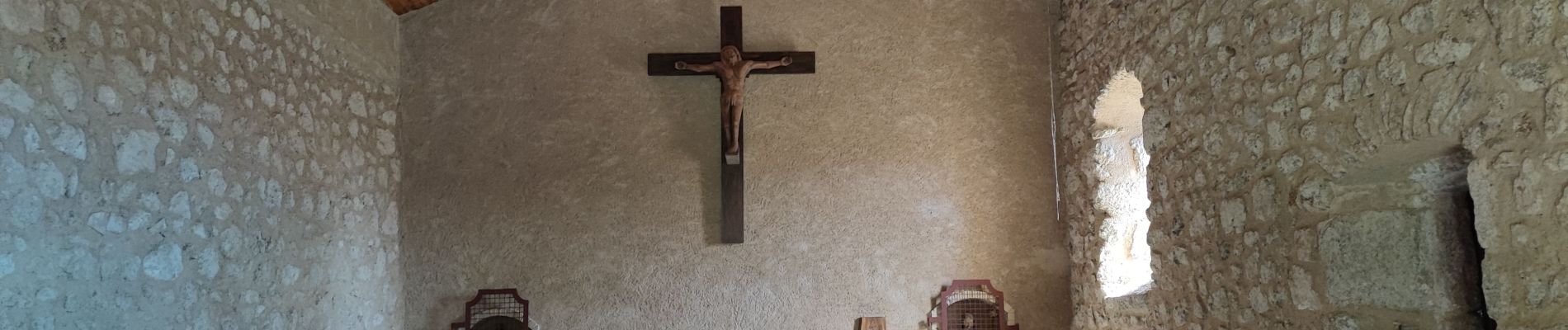
Ventuel, StDidier/Rochefort, Croix du Trève,
(La Gaille), Ventuel.
Photos

Positioning
Country:
France
Region :
Auvergne-Rhône-Alpes
Department/Province :
Loire
Municipality :
Saint-Jean-la-Vêtre
Location:
Unknown
Start:(Dec)
Start:(UTM)
562817 ; 5069516 (31T) N.
Comments