


bessat

Sigmut
User


Length
8.7 km

Max alt
1186 m

Uphill gradient
250 m
Km-Effort
12 km

Min alt
978 m

Downhill gradient
248 m
Boucle
Yes
Creation date :
2014-12-10 00:00:00.0
Updated on :
2014-12-10 00:00:00.0
2h45
Difficulty : Unknown

FREE GPS app for hiking
 SityTrail
IGN / Geographical institutes
SityTrail Plus
The world is yours!
About
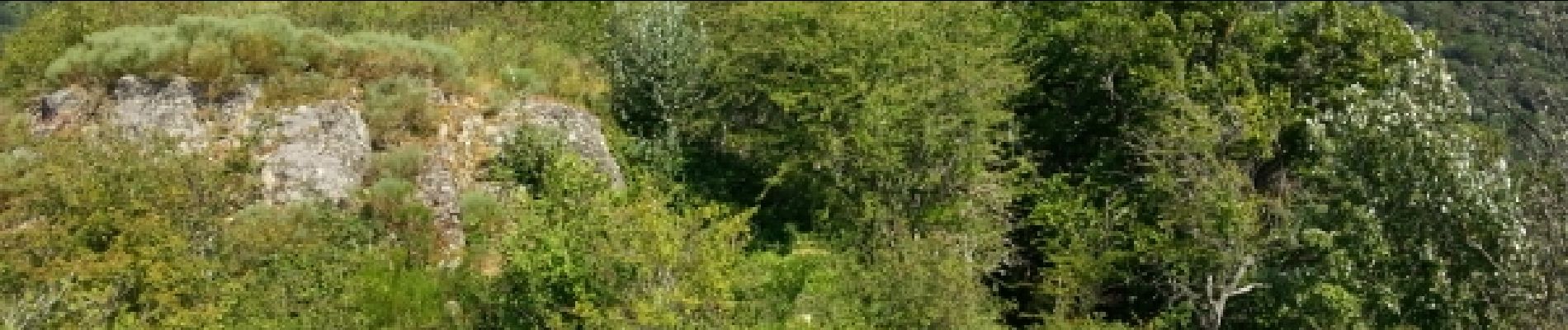
Trail Other activity of 8.7 km to be discovered at Auvergne-Rhône-Alpes, Loire, Le Bessat. This trail is proposed by Sigmut.
Photos


Positioning
Country:
France
Region :
Auvergne-Rhône-Alpes
Department/Province :
Loire
Municipality :
Le Bessat
Location:
Unknown
Start:(Dec)
Start:(UTM)
618727 ; 5025043 (31T) N.
Comments