


Villiers Adam Bethemont Chauvry

avdem
User
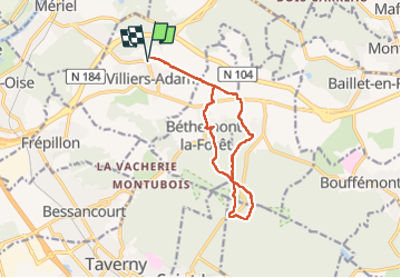

Length
12.2 km

Max alt
199 m

Uphill gradient
237 m
Km-Effort
15.3 km

Min alt
95 m

Downhill gradient
233 m
Boucle
Yes
Creation date :
2022-06-21 07:17:48.833
Updated on :
2022-06-21 10:55:41.416
2h46
Difficulty : Medium

FREE GPS app for hiking
 SityTrail
IGN / Geographical institutes
SityTrail Plus
The world is yours!
About
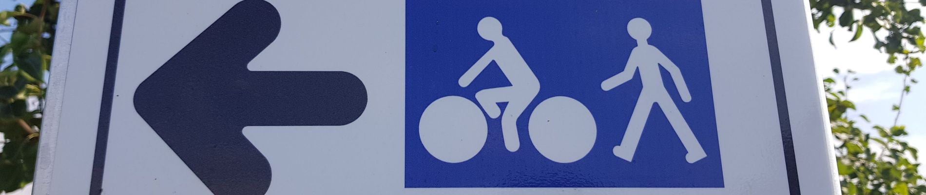
Trail Walking of 12.2 km to be discovered at Ile-de-France, Val-d'Oise, Villiers-Adam. This trail is proposed by avdem.
Photos

Positioning
Country:
France
Region :
Ile-de-France
Department/Province :
Val-d'Oise
Municipality :
Villiers-Adam
Location:
Unknown
Start:(Dec)
Start:(UTM)
444020 ; 5435339 (31U) N.
Comments