


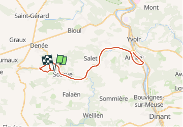


16.7 km | 21 km-effort


User


FREE GPS app for hiking
 SityTrail
IGN / Geographical institutes
SityTrail World
The world is yours!
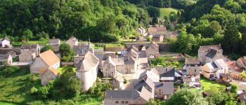
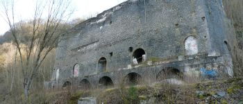
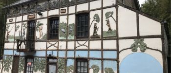
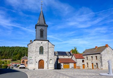
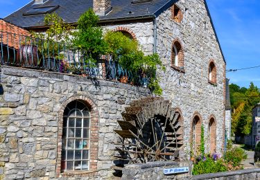
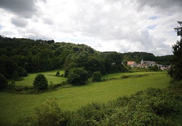
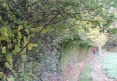
Trail Mountain bike of 32 km to be discovered at Wallonia, Namur, Anhée. This trail is proposed by Romain François.


Walking
Walking

Walking

Walking

Walking
Walking

Walking

Walking
Walking