


220625-SjVetre - ColLoge-VVF

randodan
User
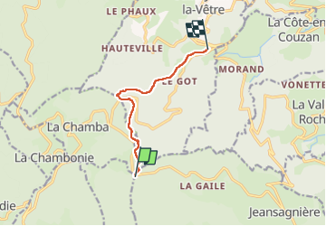

Length
6.8 km

Max alt
1273 m

Uphill gradient
49 m
Km-Effort
8.7 km

Min alt
881 m

Downhill gradient
418 m
Boucle
No
Creation date :
2022-06-25 07:29:01.512
Updated on :
2022-06-25 15:34:32.246
2h26
Difficulty : Medium

FREE GPS app for hiking
 SityTrail
IGN / Geographical institutes
SityTrail Plus
The world is yours!
About
Trail Walking of 6.8 km to be discovered at Auvergne-Rhône-Alpes, Loire, Chalmazel-Jeansagnière. This trail is proposed by randodan.
Description
Rando en ligne,
du Col de la Loge au VVF.
En solitaire !!!
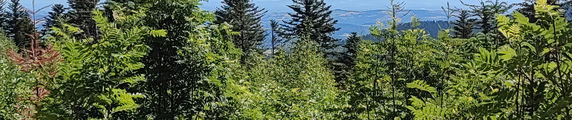
Photos


Positioning
Country:
France
Region :
Auvergne-Rhône-Alpes
Department/Province :
Loire
Municipality :
Chalmazel-Jeansagnière
Location:
Jeansagnière
Start:(Dec)
Start:(UTM)
560649 ; 5065735 (31T) N.
Comments