


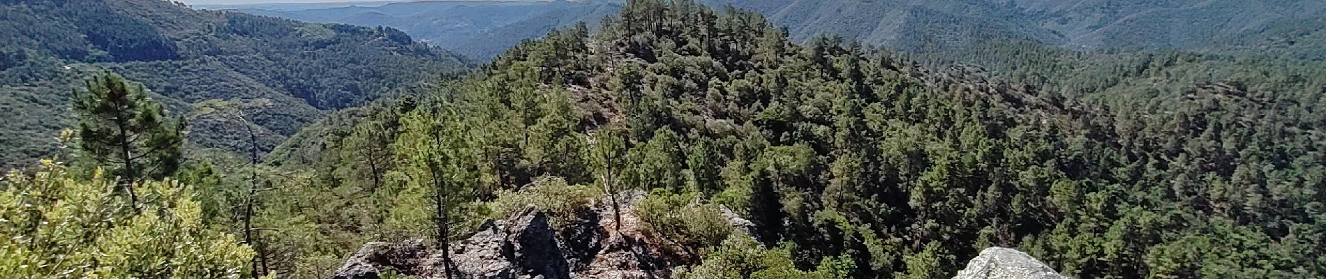
St Etienne de la Vallée Française - St Jean du Gard GR70 actualisé

norihtom
User

Length
15.5 km

Max alt
632 m

Uphill gradient
651 m
Km-Effort
24 km

Min alt
190 m

Downhill gradient
730 m
Boucle
No
Creation date :
2022-06-28 06:30:27.972
Updated on :
2022-06-29 20:05:50.187
5h38
Difficulty : Medium

FREE GPS app for hiking
 SityTrail
IGN / Geographical institutes
SityTrail Plus
The world is yours!
About
Trail Walking of 15.5 km to be discovered at Occitania, Lozère, Saint-Étienne-Vallée-Française. This trail is proposed by norihtom.
Photos

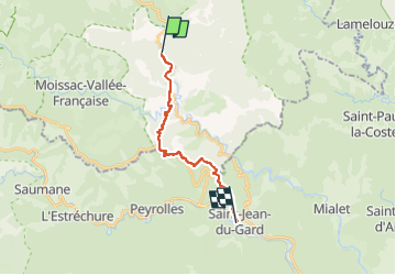
Positioning
Country:
France
Region :
Occitania
Department/Province :
Lozère
Municipality :
Saint-Étienne-Vallée-Française
Location:
Unknown
Start:(Dec)
Start:(UTM)
566851 ; 4892299 (31T) N.
Comments