


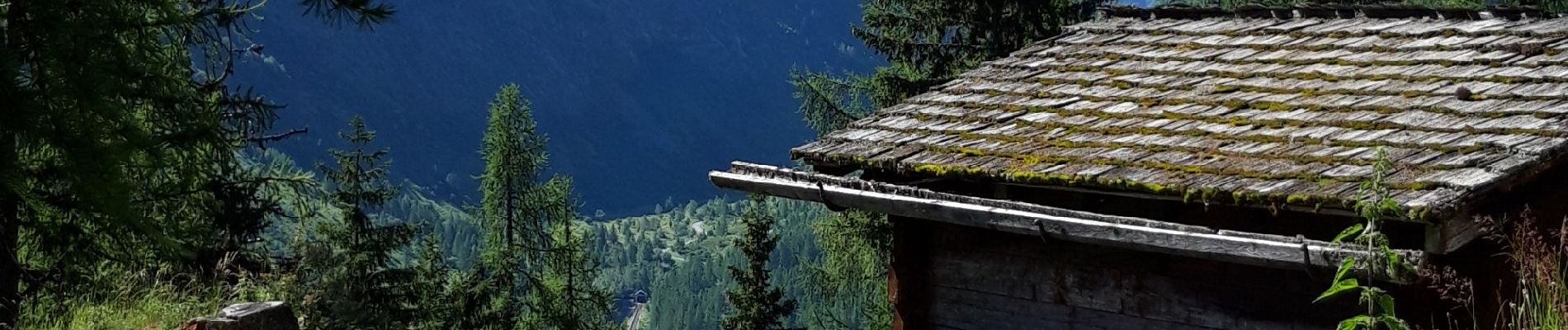
Le Buet -Cascade de Bérard - Loriaz

jeanmarcMasson
User GUIDE
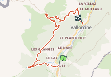

Length
11.2 km

Max alt
2026 m

Uphill gradient
710 m
Km-Effort
21 km

Min alt
1254 m

Downhill gradient
798 m
Boucle
No
Creation date :
2022-06-29 07:13:56.861
Updated on :
2022-07-03 07:18:37.881
3h41
Difficulty : Very difficult

FREE GPS app for hiking
 SityTrail
IGN / Geographical institutes
SityTrail Plus
The world is yours!
About
Trail Walking of 11.2 km to be discovered at Auvergne-Rhône-Alpes, Upper Savoy, Vallorcine. This trail is proposed by jeanmarcMasson.
Photos


Positioning
Country:
France
Region :
Auvergne-Rhône-Alpes
Department/Province :
Upper Savoy
Municipality :
Vallorcine
Location:
Unknown
Start:(Dec)
Start:(UTM)
339013 ; 5098295 (32T) N.
Comments