


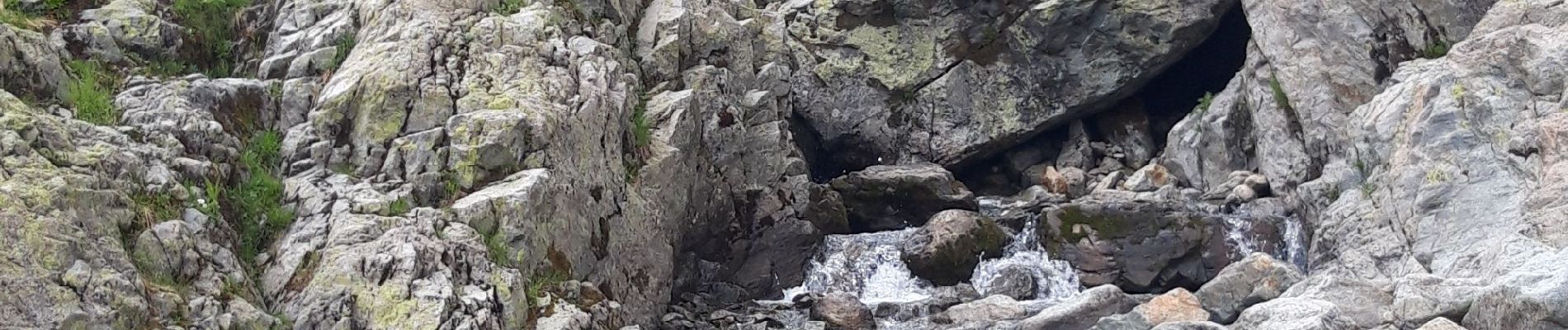
la Fregere - Lac blanc

jeanmarcMasson
User GUIDE
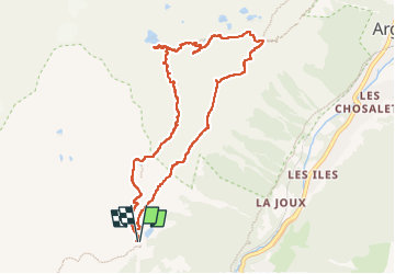

Length
9.5 km

Max alt
2366 m

Uphill gradient
594 m
Km-Effort
17.4 km

Min alt
1848 m

Downhill gradient
589 m
Boucle
Yes
Creation date :
2022-06-30 06:57:33.38
Updated on :
2022-07-03 06:59:54.537
4h04
Difficulty : Very difficult

FREE GPS app for hiking
 SityTrail
IGN / Geographical institutes
SityTrail Plus
The world is yours!
About
Trail Walking of 9.5 km to be discovered at Auvergne-Rhône-Alpes, Upper Savoy, Chamonix-Mont-Blanc. This trail is proposed by jeanmarcMasson.
Photos


Positioning
Country:
France
Region :
Auvergne-Rhône-Alpes
Department/Province :
Upper Savoy
Municipality :
Chamonix-Mont-Blanc
Location:
Unknown
Start:(Dec)
Start:(UTM)
336275 ; 5091842 (32T) N.
Comments