


Macon Cluny Chalon Macon 148km

thonyc
User GUIDE
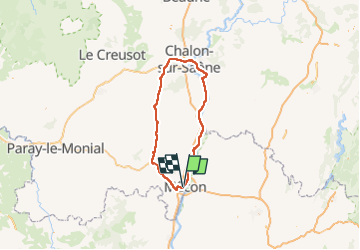

Length
148 km

Max alt
430 m

Uphill gradient
1245 m
Km-Effort
165 km

Min alt
164 m

Downhill gradient
1244 m
Boucle
Yes
Creation date :
2022-07-01 09:18:32.994
Updated on :
2022-07-14 06:50:43.935
13h44
Difficulty : Medium

FREE GPS app for hiking
 SityTrail
IGN / Geographical institutes
SityTrail Plus
The world is yours!
About
Trail Walking of 148 km to be discovered at Bourgogne-Franche-Comté, Saône-et-Loire, Mâcon. This trail is proposed by thonyc.
Description
Très joli parcours.
Voie Verte: Mâcon-Cluny-Cormatin-Châlon.
Voie Bleue la Saône: Châlon-Tournus-Mâcon.
A visiter: Abbaye de Cluny, château de Cormatin
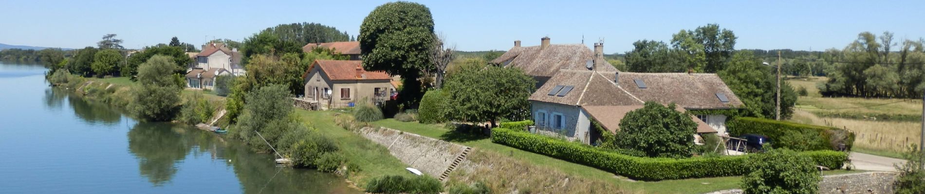
Photos


Positioning
Country:
France
Region :
Bourgogne-Franche-Comté
Department/Province :
Saône-et-Loire
Municipality :
Mâcon
Location:
Unknown
Start:(Dec)
Start:(UTM)
640589 ; 5129300 (31T) N.
Comments