


Epinay

werth
User
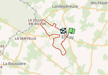

Length
11.8 km

Max alt
191 m

Uphill gradient
120 m
Km-Effort
13.4 km

Min alt
155 m

Downhill gradient
120 m
Boucle
Yes
Creation date :
2022-06-28 07:05:07.092
Updated on :
2022-07-03 07:46:32.919
2h52
Difficulty : Medium

FREE GPS app for hiking
 SityTrail
IGN / Geographical institutes
SityTrail Plus
The world is yours!
About
Trail Walking of 11.8 km to be discovered at Normandy, Eure, Mesnil-en-Ouche. This trail is proposed by werth.
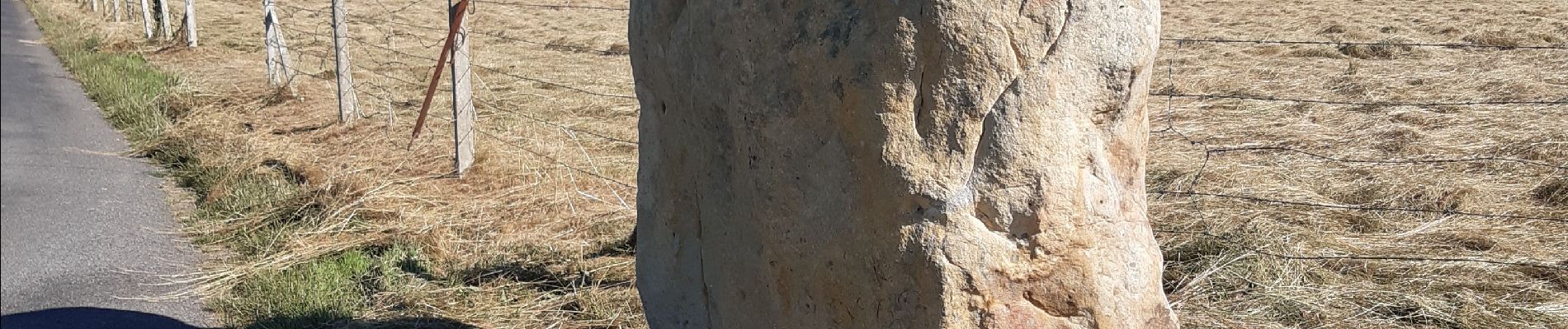
Photos

Positioning
Country:
France
Region :
Normandy
Department/Province :
Eure
Municipality :
Mesnil-en-Ouche
Location:
Unknown
Start:(Dec)
Start:(UTM)
327468 ; 5428000 (31U) N.
Comments