


Monthermé

mjh
User
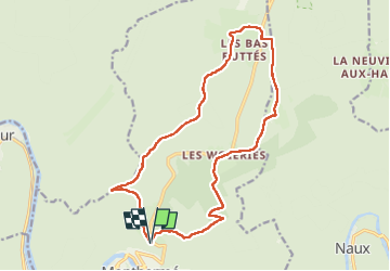

Length
16 km

Max alt
485 m

Uphill gradient
385 m
Km-Effort
21 km

Min alt
184 m

Downhill gradient
384 m
Boucle
Yes
Creation date :
2022-07-03 08:32:26.187
Updated on :
2022-07-03 12:54:13.465
3h46
Difficulty : Medium

FREE GPS app for hiking
 SityTrail
IGN / Geographical institutes
SityTrail Plus
The world is yours!
About
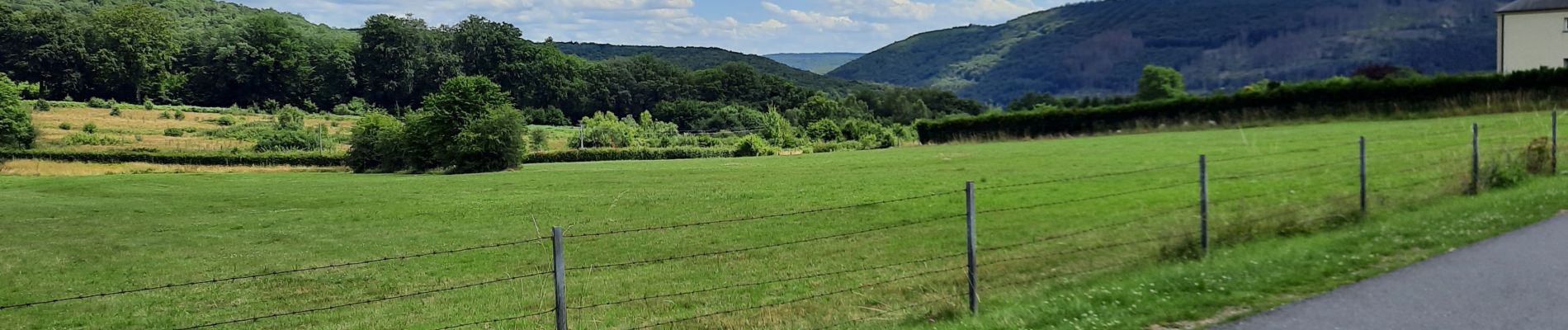
Trail Walking of 16 km to be discovered at Grand Est, Ardennes, Monthermé. This trail is proposed by mjh.
Description
Départ de l'auberge La Roche à sept heures.
Photos


Positioning
Country:
France
Region :
Grand Est
Department/Province :
Ardennes
Municipality :
Monthermé
Location:
Unknown
Start:(Dec)
Start:(UTM)
625166 ; 5527889 (31U) N.
Comments