


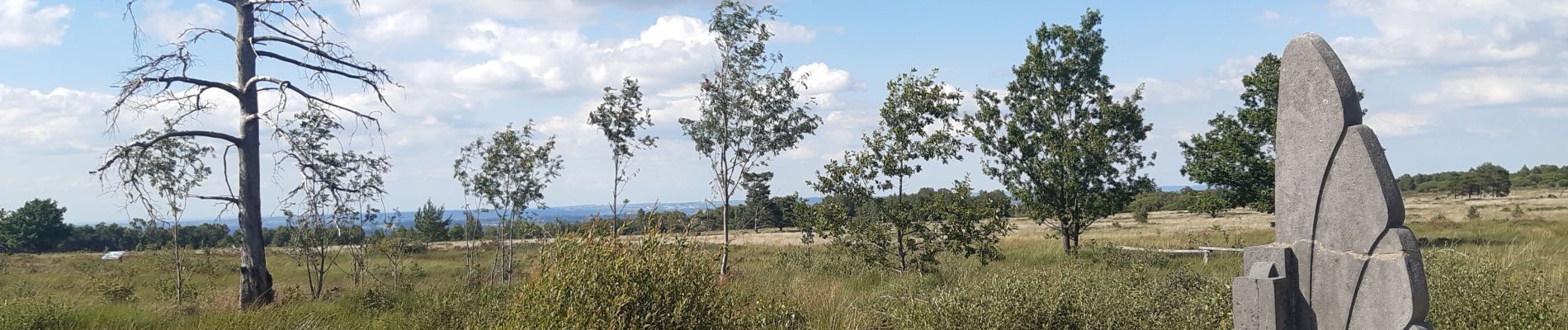
source sauveniere . chêne al bilance . aérodrome malchamps . tour de la fagne . monument R.A.F. . coupe feu nelis . source La Reine

stef789
User GUIDE
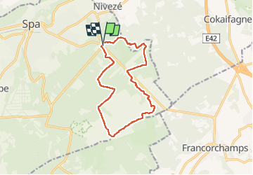

Length
12.2 km

Max alt
577 m

Uphill gradient
196 m
Km-Effort
14.8 km

Min alt
411 m

Downhill gradient
191 m
Boucle
Yes
Creation date :
2022-07-03 12:44:32.576
Updated on :
2022-07-03 16:30:39.69
2h37
Difficulty : Difficult

FREE GPS app for hiking
 SityTrail
IGN / Geographical institutes
SityTrail Plus
The world is yours!
About
Trail Walking of 12.2 km to be discovered at Wallonia, Liège, Spa. This trail is proposed by stef789.
Photos


Positioning
Country:
Belgium
Region :
Wallonia
Department/Province :
Liège
Municipality :
Spa
Location:
Unknown
Start:(Dec)
Start:(UTM)
705576 ; 5596604 (31U) N.
Comments