


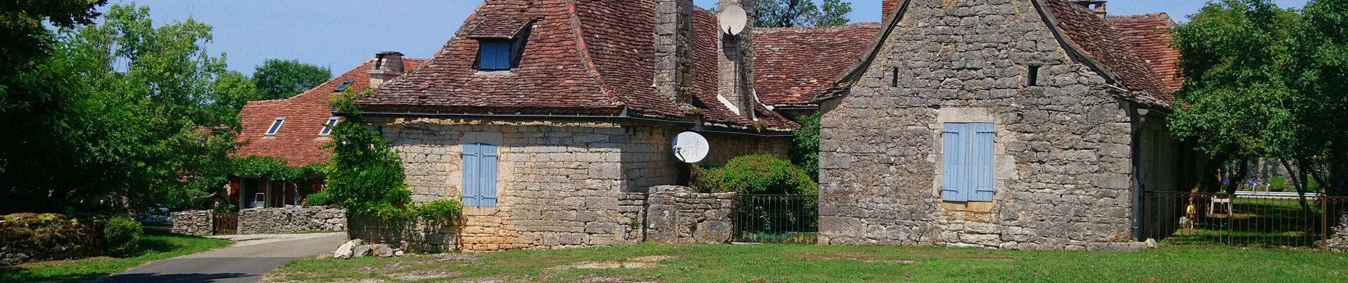
Château de Taillefer - Gintrac

Gegetop
User
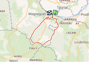

Length
11.8 km

Max alt
365 m

Uphill gradient
292 m
Km-Effort
15.7 km

Min alt
155 m

Downhill gradient
306 m
Boucle
Yes
Creation date :
2022-07-03 09:26:05.978
Updated on :
2022-07-03 19:06:37.743
3h45
Difficulty : Medium
3h23
Difficulty : Medium

FREE GPS app for hiking
 SityTrail
IGN / Geographical institutes
SityTrail Plus
The world is yours!
About
Trail Walking of 11.8 km to be discovered at Occitania, Lot, Gintrac. This trail is proposed by Gegetop.
Description
Joli point de vue depuis les ruines du château de Taillefer.
Photos


Positioning
Country:
France
Region :
Occitania
Department/Province :
Lot
Municipality :
Gintrac
Location:
Unknown
Start:(Dec)
Start:(UTM)
402194 ; 4972060 (31T) N.
Comments