


l'envol de la perdrix

jean-charlesSIMAND
User
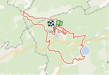

Length
28 km

Max alt
1831 m

Uphill gradient
1202 m
Km-Effort
44 km

Min alt
1159 m

Downhill gradient
1206 m
Boucle
Yes
Creation date :
2014-12-10 00:00:00.0
Updated on :
2014-12-10 00:00:00.0
3h27
Difficulty : Medium

FREE GPS app for hiking
 SityTrail
IGN / Geographical institutes
SityTrail Plus
The world is yours!
About
Trail Running of 28 km to be discovered at Auvergne-Rhône-Alpes, Puy-de-Dôme, Besse-et-Saint-Anastaise. This trail is proposed by jean-charlesSIMAND.
Positioning
Country:
France
Region :
Auvergne-Rhône-Alpes
Department/Province :
Puy-de-Dôme
Municipality :
Besse-et-Saint-Anastaise
Location:
Unknown
Start:(Dec)
Start:(UTM)
488598 ; 5039882 (31T) N.
Comments