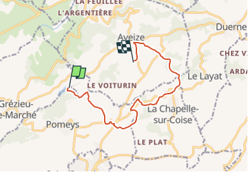

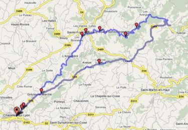
20 km | 28 km-effort


User


FREE GPS app for hiking
 SityTrail
IGN / Geographical institutes
SityTrail World
The world is yours!
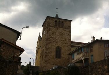
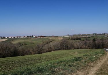
Trail Equestrian of 11.1 km to be discovered at Auvergne-Rhône-Alpes, Rhône, Pomeys. This trail is proposed by jpforez.
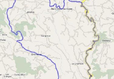
Rando de Parick du 10 juillet 2022 traces de l AM

Walking
Walking

Walking
Mountain bike
Walking
Walking
Cycle
Cycle